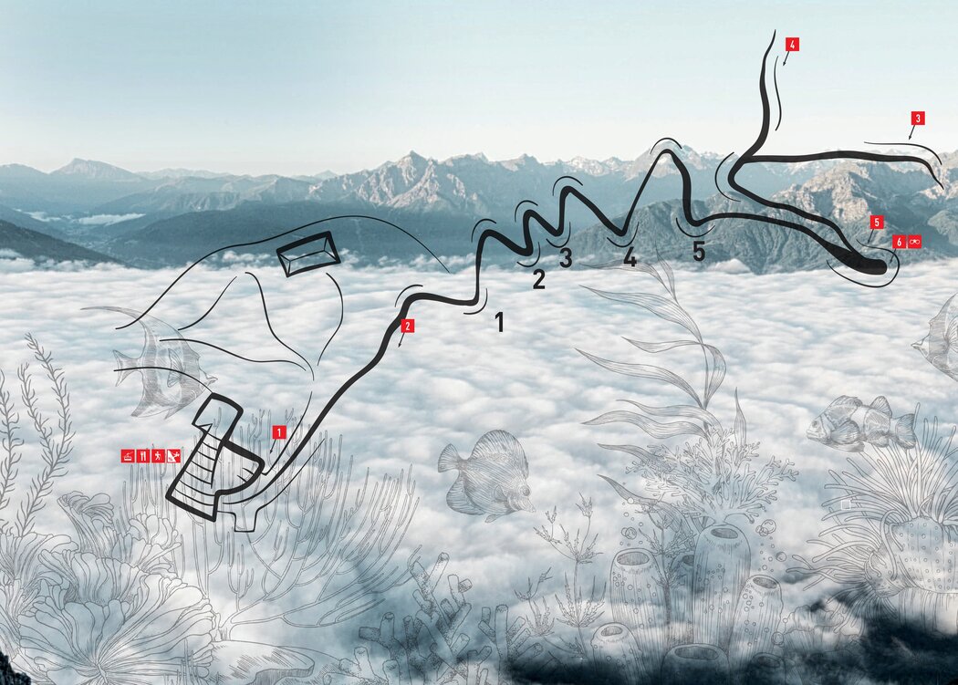
Lagoons and coral reefs at 2300 meters above sea level, at the summit of the Hafelekar?
That sounds very far-fetched, but it's not. The geology trail with its 5 stations provides fascinating insights into the formation of the Karwendel and its characteristic reef limestone.
The Karwendel has been in motion since time immemorial. The 4 main ranges, the Northern Karwendel Range, the Hinterautal-Vomper Range, the Gleirsch-Halltal Range and the Northern Range, were formed over millions of years by the geological folding of mighty limestone banks. The fault lines of these folds form vertical walls up to 1,000 meters high on the north side of the mountain range, while the gentler south side was shaped by ice ages and glaciers.
Follow the information boards on our geology trail from the Hafelekar mountain station / Top of Innsbruck and find out how the former seabed was pushed upwards by tectonic shifts. Millions and millions of shells and other limestone-like structures developed into the striking, often bizarrely jagged rock formations of weathered limestone and dolomite. Similar to the Stone Sea, fossilized corals, ammonites and shells can be seen on the primeval seabed. The development of the geological trail, which is also easily accessible for non-climbers, is explained clearly for children on the information boards.
Start Geotrail: Hafelekar mountain station
Walking time: approx. 30 min